


How many of you have been looking for a property and come across this;
SW1/4 of SE1/4 of NE1/4 of S21 T38s R6w of the SLM (10 Acres).
This does in fact describe the location of the property; to a land surveyor this is exactly how it should be laid out. To the investor it is not essential that we understand this, but is very helpful for pinpointing the location of the property. If you have an address the online resources for finding locations do a great job.
If you looking at land, this information will help you get a good start. First things first, let’s break down how the organizes lots and land.
Let me introduce you to the Public land survey system- This is one of the methods used in the US to survey and identify land parcels. This is usually done by dividing the county into small squares called townships and sections.
A Township= 36 square miles
Sections = 1 square mile (640 acres)
36 sections= 1 Township
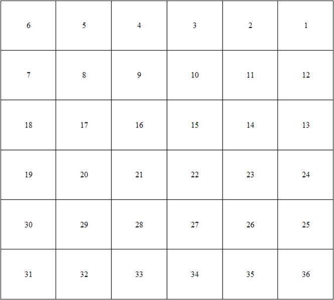
These are laid in in squares with 1 section located in the north east corner (top right) and counting moving to the left through number 6 on the top row.
Number 7 will start below section 6 and then count with the numbers progressing to the right ending with 12 on the second row.
You will continue with this until you have laid out 36 sections which again will equal a Township.
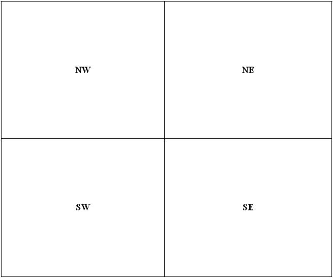
Inside each section you will have it divided into 4 sections, on the left you will have
NW (northwest) and SW (southwest) and on the right you will have NE (northeast) and SE (southeast).
The Townships are laid out as follows:
Principal Meridian lines (north to south)
And Base lines (east to west).
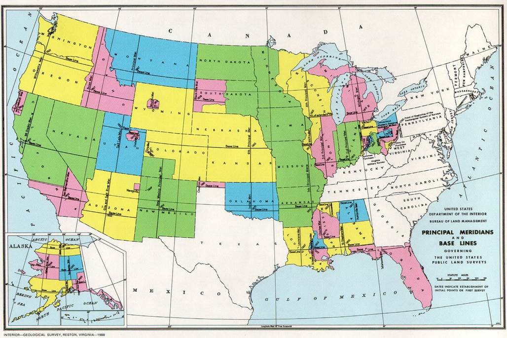
The Principal Meridians and Base Lines can cover multiple states as well.
Let’s look back at the example at the beginning of the article….
SW1/4 of SE1/4 of NE1/4 of S21 T38s R6w of the SLM (10 Acres).
OR
Southwest 1/4 of the southeast 1/4 of the northeast 1/4 of Section 21 Township 38 south Range 6 west of the Salt Lake Meridian.
This would mean the township would be 38 “townships” south of the base line, and 6 “townships” west of the principal meridian line (in this case The Salt Lake Meridian).
Now you have gotten done with this and be saying, “John I am never going to use this!”
Could be true, but now you can look at a legal description and understand what they are describing.
I have attached some images that will help as well.
Enjoy!
A legal description of property is a way to define or accurately pinpoint where a particular piece of property is located. A street address also identifies a physical location but not in the same way that a legal description defines it and, in fact, they often don't match.
Some legal descriptions are very simple and involve a Lot and a Block and a Subdivision name. Even those can be wrong when verified by surveying equipment. To make certain that you own a piece of property, it's a good idea to buy a title insurance policy. You will mostly find Lot and Block legal descriptions within city boundaries.
A more common legal description is metes and bounds. This involves using the public surveying system, which starts from when the United States issued its patent. It uses townships and ranges. Land is divided into sections, and each section is 640 acres. The legal description pinpoints the location of the subject property within its particular Township, Range and Section, which might also involve degrees and distance. EWeintraub